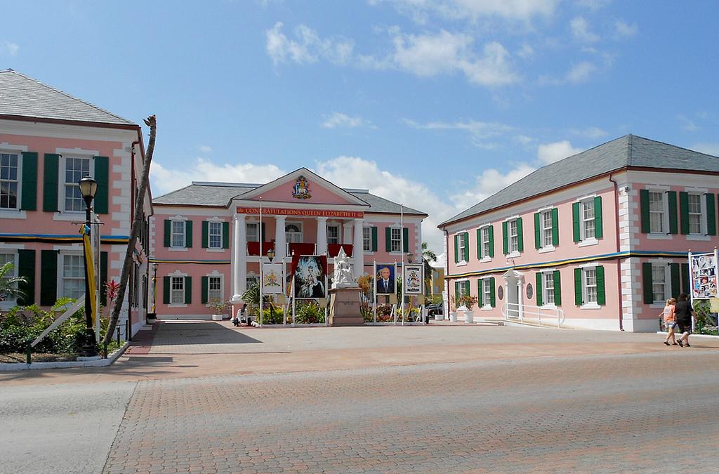
Parliament Square (Bay Street, Nassau, New Providence Island) –– the buildings in Parliament Square were constructed in 1815 by the Loyalists (modeled after buildings that are found in New Bern, the old capital of North Carolina). These flamingo-pink government buildings are excellent examples of the colonial architecture of old Nassau. The building to the right […]
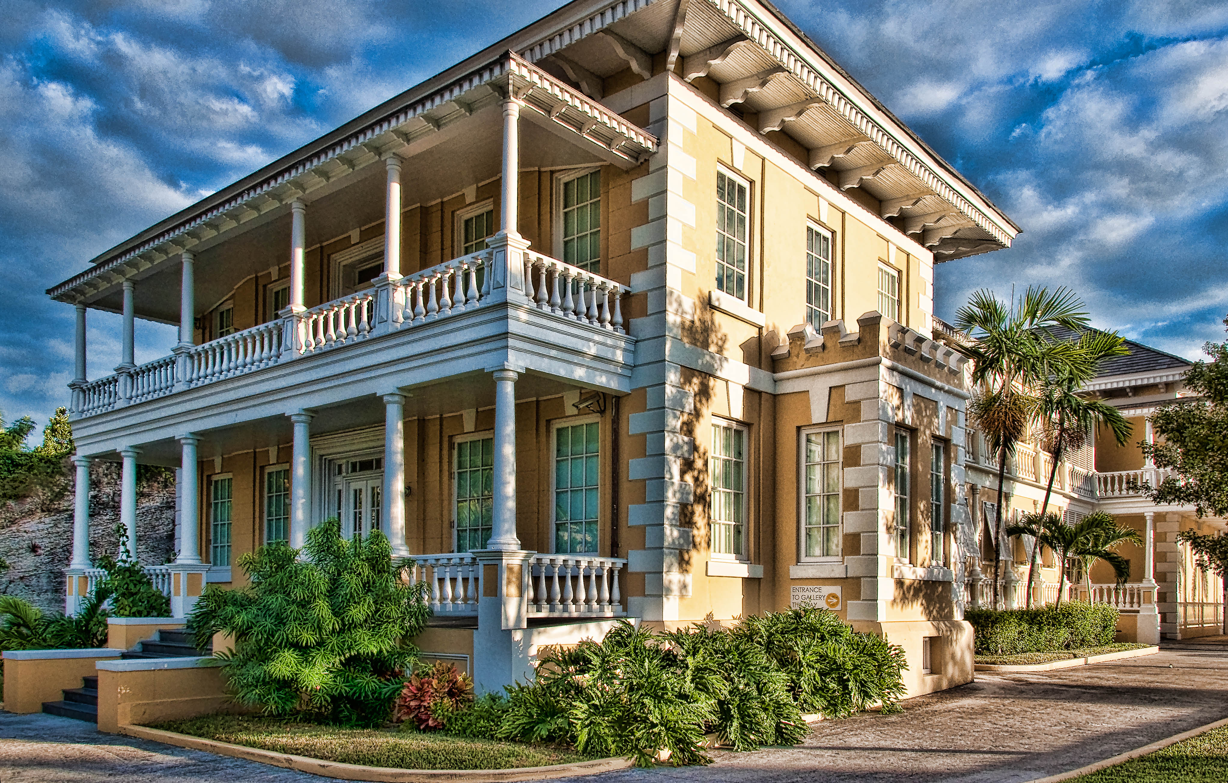
National Art Gallery of the Bahamas (West and West Hill Streets, across from St. Francis Xavier Cathedral, Nassau, New Providence Island) — located at the historic Villa Doyle, The NAGB is committed to engaging the history of Bahamian Art and Visual Culture by supporting contemporary movements and experimental contemporary art practice through exhibitions and the […]
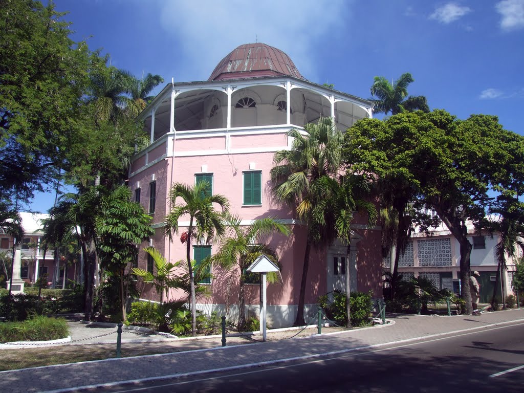
Nassau Public Library & Museum (Shirley Street, between Parliament St. and Bank Lane, Nassau, New Providence Island) –– built in 1797, this interesting octagonal building was formerly the Nassau Goal (Old World spelling for “jail”) during the 18th century. The prison cells now house a small collection of old books, photographs, Arawak artifacts and historical […]
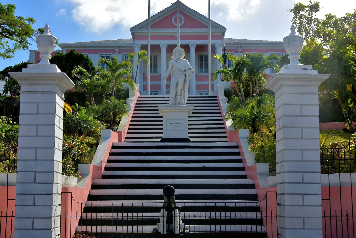
Government House (Duke and George Streets, Nassau, New Providence Island) — Government House located on a ten (10) acre estate, stands on Mount Fitzwilliam and is the official residence of the Governor General of the Bahamas. It dates back to 1801 and this imposing pink and white building on Duke Street is an excellent example […]
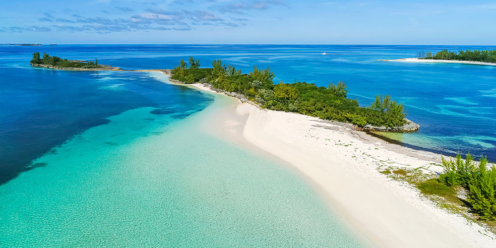
Andros Island (Andros Town) — at 2,300 square miles, Andros is the largest island of The Bahamas and the fifth-largest island in the Caribbean. Its miles of deserted beaches and freshwater lakes play host to countless species of wildlife, marine life, flora and fauna. Andros is covered with vast areas of wetlands that create channels […]
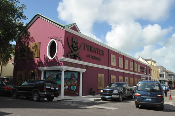
New Providence (Nassau) – Nassau, the capital city of The Bahamas, is located on 21-mile-long New Providence, the 11th largest island in this country. Nassau’s main harbor is protected by Paradise Island. The harbor attracted settlers in the early days, particularly pirates. In fact, Nassau’s population consisted mainly of pirates until 1718, when The Bahamas […]
Abaco (Coopers Town) – the Abacos are a group of islands and cays that form a 120-mile–long chain stretching over 650 square miles. The coastlines are scalloped with bays, coves and protected harbors that feature full-service marinas and resorts. Great Abaco Island and Little Abaco serve as the “mainland.” Marsh Harbour has a lively downtown […]
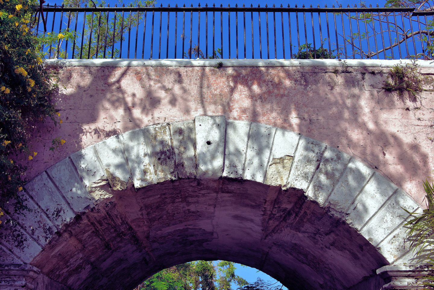
Gregory’s Arch (intersection of Market and Duke Streets, Nassau, New Providence Island) — this arch was named after Governor John Gregory who served around 1850 and it was opened to the public on the 19th January, 1852, When you pass through this stone arch on Market Street, you cross the line that divides downtown Nassau […]
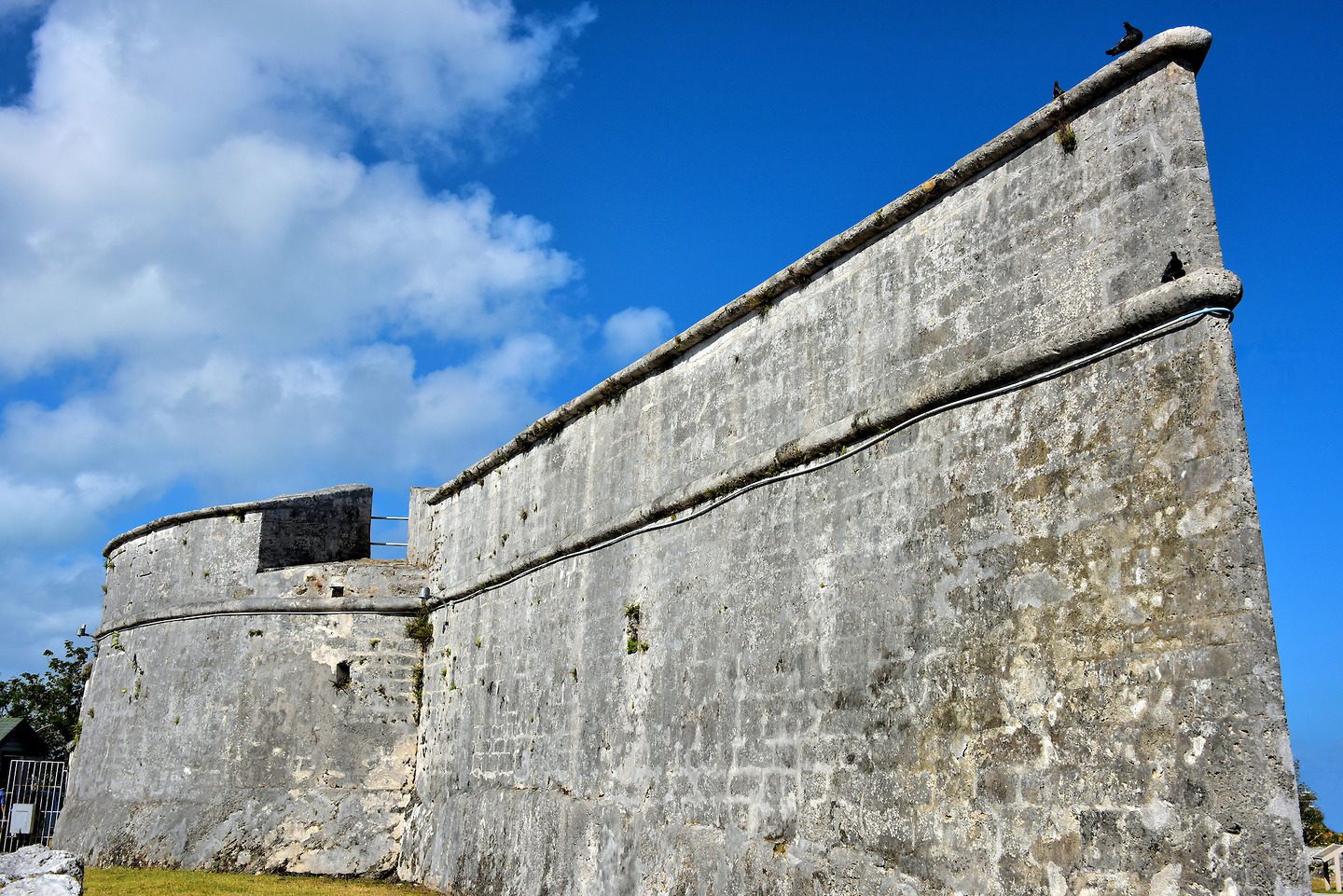
Fort Fincastle (top of Elizabeth Avenue hill, south of Shirley Street, Nassau, New Providence Island) — this Fort was constructed of cut limestone c. 1793 and strategically placed atop Bennet’s Hill to protect historic Nassau town and harbor; it was built under the governorship of John Murray, also called Viscount Fincastle, in the shape of […]
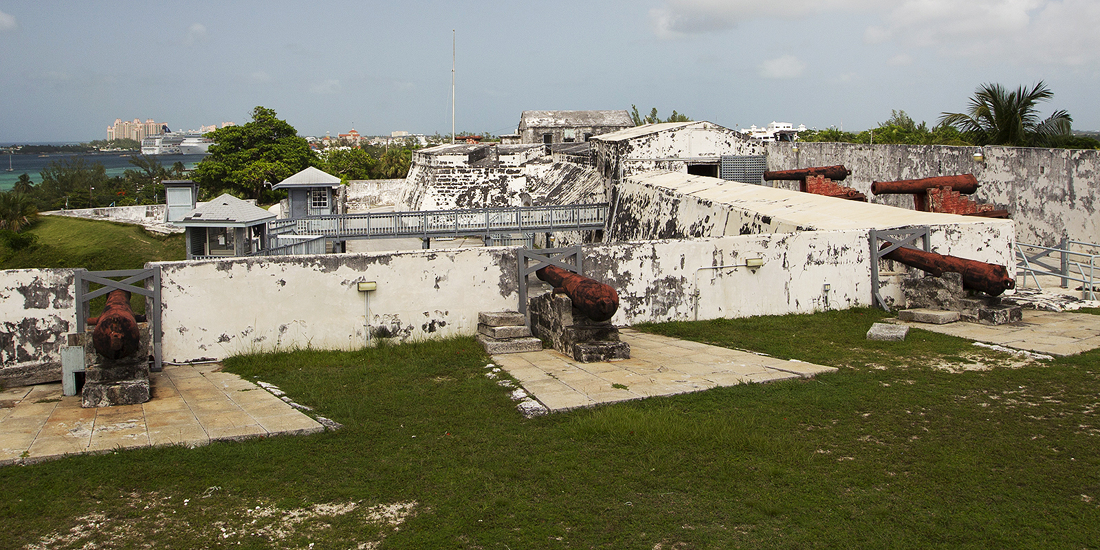
Fort Charlotte (West Bay Street at Chippingham Road, Paradise Island, New Providence Island) — if you have time to visit only one fort, see this one. It is by far the largest and covers 100 acres. Located on a hill overlooking the far west end of the harbor, Fort Charlotte commands an impressive view of […]